Skip to main content
Menu
Museum
Museum
An Ordinary Man, His Extraordinary Journey
Hours/Admission
Nearby Dining and Lodging
Information
Store
Foreign Language Museum Guides
Library Collections
Library Collections
Online Collections
Maps
Photographs
Harry S. Truman Papers
Federal Records
Personal Papers
Appointment Calendar
Audiovisual Materials Collection
President Harry S. Truman's Cabinet
President Harry S. Truman's White House Staff
Researching Our Holdings
Collection Policy and Donating Materials
Truman Family Genealogy
To Secure These Rights
Freedom to Serve
Events and Programs
Events and Programs
Facility Rental
Featured programs
Education
Education
Annual Truman Library Teacher Conference
Civics for All of US
Civil Rights Teacher Workshop
High School Trivia Contest
Teacher Lesson Plans
National History Day
Student Resources
Truman Presidential Inquiries
Student Research File
The Truman Footlocker Project
Truman Trivia
The White House Decision Center
Three Branches of Government
Electing Our Presidents Teacher Workshop
National History Day Workshops from the National Archives
Tours
About
About
Support
Research grants
Truman Library History
Contact Staff
Volunteer Program
Internships
Privacy
Click here to open or close the menu
Search
Breadcrumb
Harry S. Truman
Library Collections
Search Maps
Search Maps
Search Truman Archives
Search Results
Search Results: 724 maps
Clear Search
Refine Results
Enter Search Terms
Enter Search Terms
Search Parameter
Is equal to
Is not equal to
Contains
Contains any word
Contains all words
Starts with
Does not start with
Ends with
Does not end with
Does not contain
Length is shorter than
Length is longer than
Regular expression
Negated regular expression
Topics
Banks and banking
Cities and towns
Coal trade
Cold War
County government
Forests and forestry
Formations (Geology)
Freemasonry
Jewish-Arab relations
Korean War, 1950-1953
Military bases
Mines and mineral resources
Navy-yards and naval stations
Oil industries
Postal service
Presidential libraries
Presidential residences
Railroads
Rivers
Roads
Universities and colleges
World War, 1914-1918
World War, 1939-1945
Start Date
Min
Max
Exclude Copyright Restricted
- Any -
Restricted
Undetermined
Unrestricted
Agency Restriction
Map of the Front Lines on September 12 and September 18, 1918
Map # M963 [1:320,000]
1918
Map of the Front Lines on August 14, 1918
Map # M962 [1:320,000]
1918
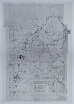
Map of 35th Division Movement and Positions
Map # M1000 [1:400,000]
1918
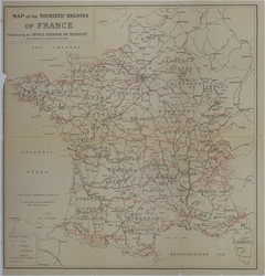
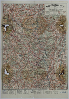
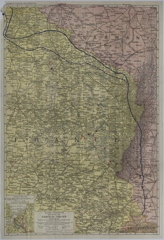
Map of France
Map # M999
1918
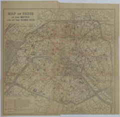
Map of Paris Transportation Systems
Map # M999-01
1918
Map of Allied Movement Along the Front
Map # M1060 [1:320,000]
1918
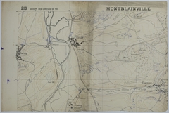
Map of the Area Around Thiaucourt
Map # M1292 [1:50,000]
1918
Map of Front Line Movement and Areas of Allied Occupation
Map # M1236 [1:500,000]
1918
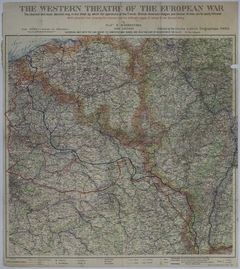
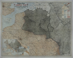
Map of the Western Front
Map # M1932 [1:500,000. Complete War Area Inset: 3 inches = 500 miles. Coal and Iron Fields Inset: 1 1/2 inches = 100 miles.]
1918
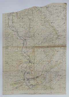
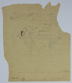
Map of a Battalion Observation Post during the Meuse-Argonne Offensive
Map # M798
1918
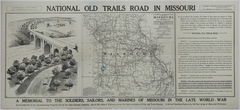
Map of the National Old Trails Road in Missouri
Map # M1357 [2 inches = 60 miles]
1921
Map of Allied and German Divisions Along the Front
Map # M1180 [1 inch = 7 1/4 miles]
1925
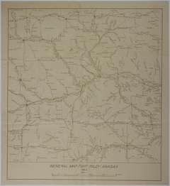
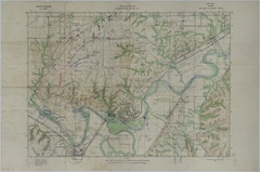
Map of Fort Riley, Kansas
Map # M1960 [1 inch = 10 miles]
1925
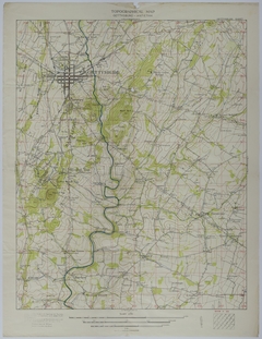
Map of the Area Around Gettysburg, Pennsylvania
Map # M1961 [3 inches = 1 mile]
1925
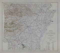
Map of Arkansas Resources
Map # M204 [1:500,000]
1929
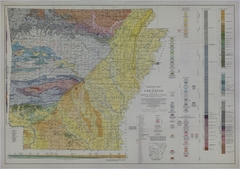
Map of Arkansas Resources
Map # M205 [1:500,000]
1930
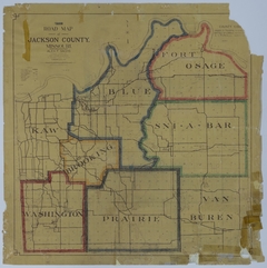
Map of Jackson County, Missouri
Map # M159 [1 3/4 inches = 3 miles]
1933
Map of Fort Riley, Kansas
Map # M1964 [1:20,000]
1934
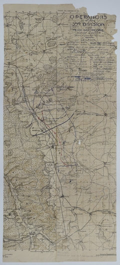
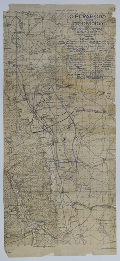
Map of 35th Division Operations During the Meuse-Argonne Offensive
Map # M1092
1918
Map of 35th Division Observation Posts and Positions Around St. Mihiel
Map # M1023 [1:50,000]
1918
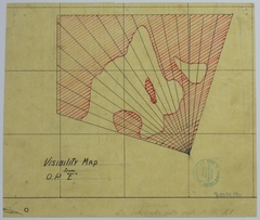
Map of the Area Covered From an Observation Post Near St. Mihiel
Map # M1024 [1:50,000]
1918
Map of the 353rd Infantry During the Meuse-Argonne Offensive
Map # M632 [1:20,000]
1918
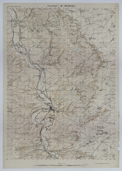
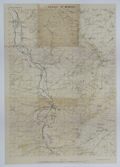
Map of St. Mihiel
Map # M1025 [1:50,000]
1918
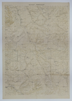
Map of the Area around Souilly
Map # M1030 [1:50,000]
1918
Map of Division Positions and Advancement
Map # M1028 [1:50,000]
1918
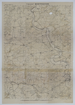
Map of the Area around Montfaucon
Map # M1029 [1:50,000]
1918
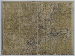
Map of the Area around Munster
Map # M1047
1918
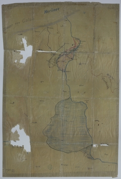
Map of the Area around St. Mihiel
Map # M1053 [1:50,000]
1918
Map of Northeast France Near St. Mihiel
Map # M1089 [1:20,000]
1918
Map of 35th Division Operations During the Meuse-Argonne Offensive
Map # M1091
1918
Map of the Atlantic Ocean and Adjacent Areas
Map # M1211 [1:20,000,000. Inset: 1:2,000,000.]
Map of 129th Field Artillery Positions
Map # M1106
1918
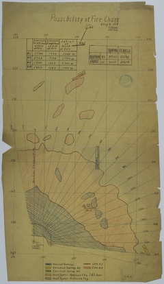
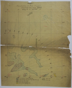
Map of Potential Artillery Targets
Map # M1107
1918
Map of the Area of Potential Artillery Fire
Map # M1108
1918
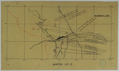
Map of Mortar and Machine Gun Positions Near Guebwiller
Map # M1109
1918
Map of the Spring Offensive
Map # M1104
1918
Map of Artillery Targets
Map # M1110
1918
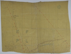
Map of Trench Systems and Barracks
Map # M1112
1918
Map of a Night Barrage on October 1-2, 1918
Map # M1111
1918
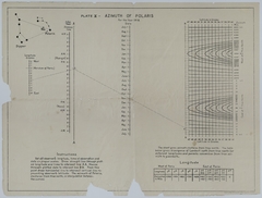
Chart of the Azimuth of Polaris for 1918
Map # M1287
1918
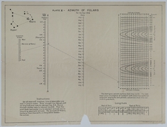
Chart of the Azimuth of Polaris for 1918
Map # M1288
1918
Map of Potential Artillery Targets
Map # M1296
1918
Map of the Movement and Positions of the 138th Infantry
Map # M970 [1 inch = 4 miles. Inset: 1 inch = 140 miles]
Map of the Movement of the 137th Infantry
Map # M949 [1:250,000]
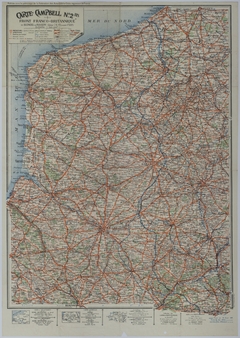
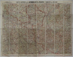
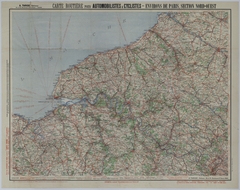
Map of Transportation Routes
Map # M941 [1:250,000]
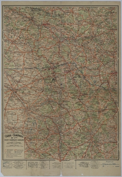
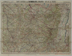
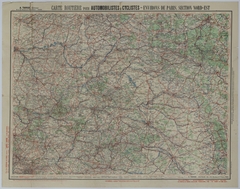
Map of Automobile and Bicycle Routes in Northeast France
Map # M1299 [1:250,000]
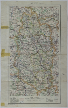
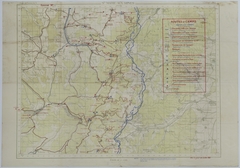
Map of Transportation Routes and Camps
Map # M1297 [1:50,000]
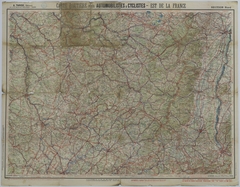
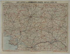
Map of Transportation Routes
Map # M945 [1:250,000]
Map of Allied Movement Northwest of Paris
Map # M947 [1:250,000]
Map of Allied Movement in Northwest France
Map # M943 [1:250,000]
Pagination
Previous page
‹‹
Page 9
Next page
››