Breadcrumb

  1. Home
  2. Search Maps
  3. Map of the Area Near the Hanford Site

Map of the Area Near the Hanford Site

Map of the Area Near the Hanford Site
Accession Number
M252
Cartographer
Copyright: Charles F. Metsker.
Photo Color
Color
Physical Size
34 1/2 X 26 inches
Restrictions
Restricted
Scale
1 inch = 2 miles
TIF Identifier
M252.tif
Rights

This item is copyrighted and cannot be published, reproduced, or otherwise used without the explicit permission of the copyright holder.

Note: If you use this image, rights assessment and attribution are your responsibility.

Credit: Copyright: Charles F. Metsker.

Courtesy Harry S. Truman Library & Museum, Independence, Missouri.

Attention media: Please make note of this item's map number. Print out this page and retain it for your permissions records before downloading this image file for possible publication. Library staff cannot sign permissions forms or provide additional paperwork. The Library charges no usage fees for downloaded images. Fees are charged for higher resolution scans.

Description

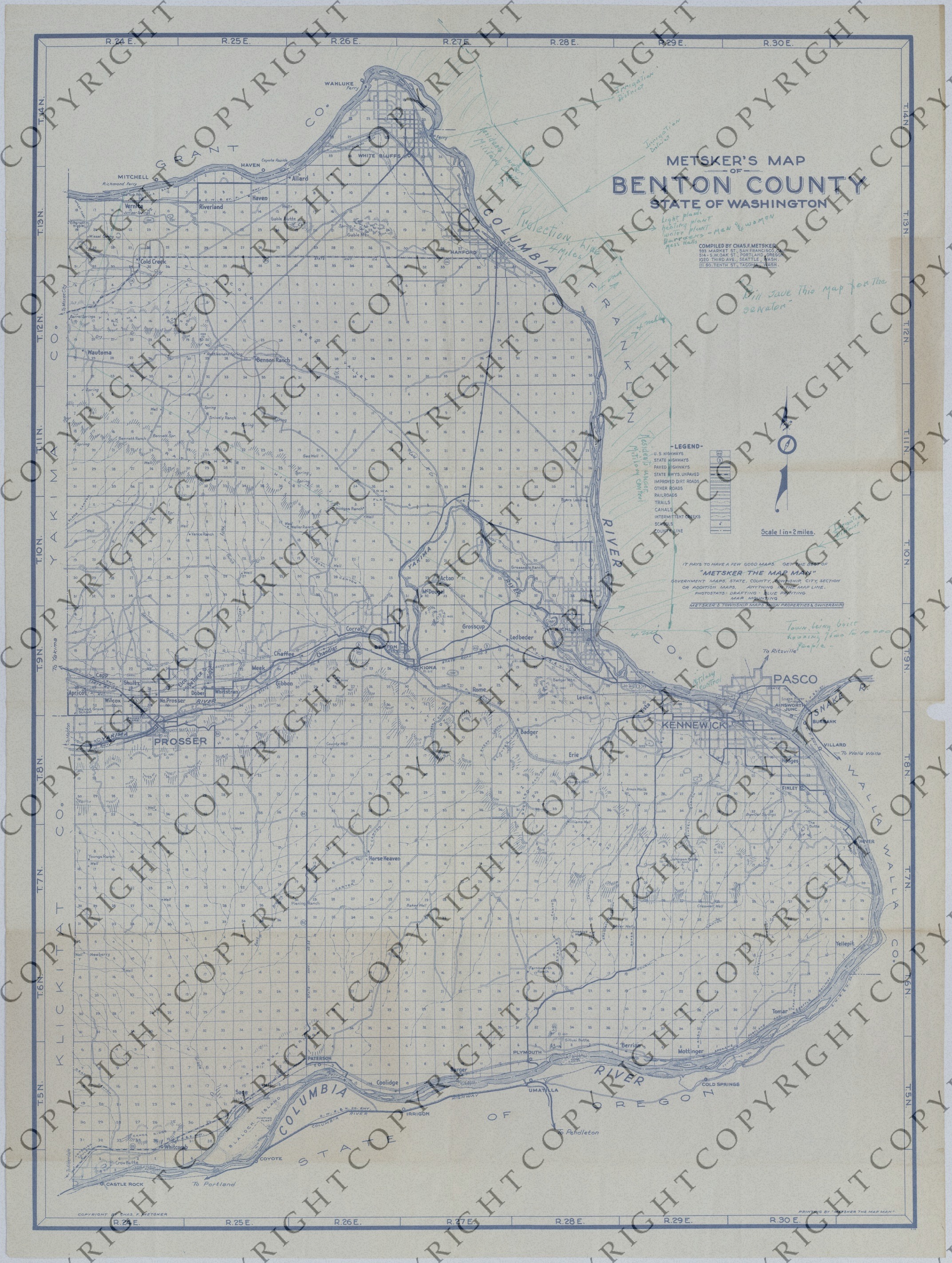
An American map titled "Metsker's Map of Benton County, State of Washington." The grid map shows highways, roads, railroads, trails, canals, intermittent creeks, schools, county lines, and other details. Annotations, in green ink, show the area along the Columbia River that the federal government seized in order to build facilities and housing for the Manhattan Project's Hanford Site. Specifically, handwritten annotations refer to areas where residents (workers) were under military control, irrigation districts, light, heating, and water plants, barracks for men and women, mess halls, and the width and length of a "Protection Line." In addition, a handwritten note and a line drawn towards Richland refer to a "town being built, housing 7,500 to 10,000 people." Yet another handwritten note reads: "Bill, Save this map for the Senator." Other areas marked on this map include Cold Creek, Benson Ranch, White Bluffs, and Kennewick. Handwriting on the back indicates that this map is part of the President's Secretary's Files. The handwriting reads: "Truman Papers-PSF, Ayers File-Senate (Publications)."

Date(s)
ca.