Skip to main content
Menu
Museum
Museum
An Ordinary Man, His Extraordinary Journey
Hours/Admission
Nearby Dining and Lodging
Information
Store
Library Collections
Library Collections
Online Collections
Maps
Photographs
Harry S. Truman Papers
Federal Records
Personal Papers
Appointment Calendar
Audiovisual Materials Collection
President Harry S. Truman's Cabinet
President Harry S. Truman's White House Staff
Researching Our Holdings
Collection Policy and Donating Materials
Truman Family Genealogy
To Secure These Rights
Freedom to Serve
Events and Programs
Events and Programs
Facility Rental
Featured programs
Education
Education
Annual Truman Library Teacher Conference
Civics for All of US
Civil Rights Teacher Workshop
High School Trivia Contest
Teacher Lesson Plans
National History Day
Student Resources
Truman Presidential Inquiries
Student Research File
The Truman Footlocker Project
Truman Trivia
The White House Decision Center
Three Branches of Government
Electing Our Presidents Teacher Workshop
National History Day Workshops from the National Archives
Tours
About
About
Support
Research grants
Truman Library History
Contact Staff
Volunteer Program
Internships
Privacy
Click here to open or close the menu
Search
Breadcrumb
Harry S. Truman
Library Collections
Search Maps
Search Maps
Search Truman Archives
Search Results
Search Results: 866 maps
Clear Search
Refine Results
Enter Search Terms
Enter Search Terms
Search Parameter
Is equal to
Is not equal to
Contains
Contains any word
Contains all words
Starts with
Does not start with
Ends with
Does not end with
Does not contain
Length is shorter than
Length is longer than
Regular expression
Negated regular expression
Topics
Banks and banking
Cities and towns
Coal trade
Cold War
County government
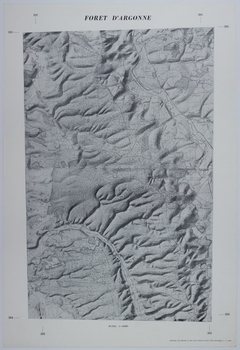
Forests and forestry
Formations (Geology)
Freemasonry
Jewish-Arab relations
Korean War, 1950-1953
Military bases
Mines and mineral resources
Navy-yards and naval stations
Oil industries
Postal service
Presidential libraries
Presidential residences
Railroads
Rivers
Roads
Universities and colleges
World War, 1914-1918
World War, 1939-1945
Start Date
Min
Max
Exclude Copyright Restricted
- Any -
Restricted
Undetermined
Unrestricted
Agency Restriction
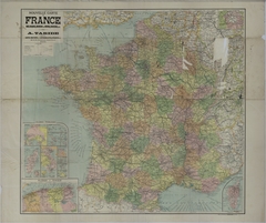
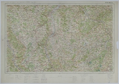
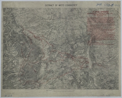
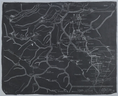
Map of Allied Movement in Northeast France
Map # M959 [1:200,000]
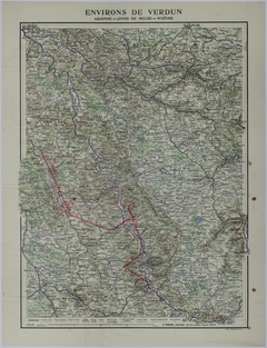
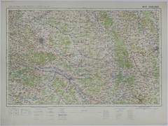
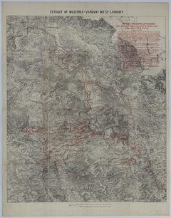
Map of the Area Surrounding Verdun
Map # M1275 [1:50,000]
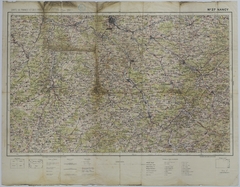
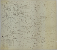
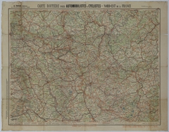
Map of Transportation Routes in Northeast France
Map # M1286 [1:320,000]
Map of Camp Coetquidan
Map # M1293
Map of the Area Around Vouziers
Map # M1289 [1:50,000]
Map of the Area Around Nancy
Map # M1298 [1:200,000]
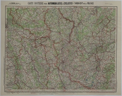
Map of Transportation Routes
Map # M953 [1:250,000]
Map of Transportation Routes
Map # M1235 [1:1,265,000]
Map of the Motor Battalion of the 117th Ammunition Train
Map # M626 [1:500,000]
Map of Transportation Routes
Map # M958 [1:15,000]
Map of Transportation Routes
Map # M936 [1:250,000]
Map of Allied Movement Along the Front Lines
Map # M938 [1:320,000]
Map of Allied Movement in Northeast France
Map # M942 [1:250,000]
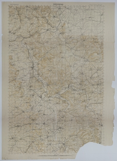
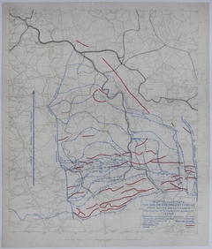
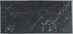
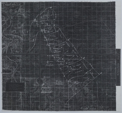
Map of 35th Division Positions
Map # M1130 [1/50,000]
Map of Allied Movement
Map # M960 [1/2 inch = 10 kilometers]
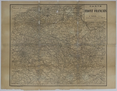
Map of the French Front
Map # M965 [1 inch = 25 kilometers]
Map of the Area Around Kortrijk, Belgium
Map # M975 [1:40,000]
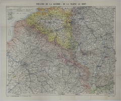
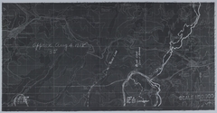
Map of the Positions and Movement of German Divisions During the Spring Offensive
Map # M1022 [1:250,000]
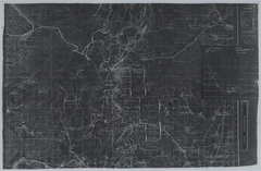
Map of the Positions and Movement of German Artillery
Map # M1031 [1:50,000]
Map of Allied Movement in Northeast France
Map # M997 [1:1,500,000]
Map of the Movement of the 130th Field Artillery
Map # M1033 [1:1,265,000]
Map of the Movement of the 137th Infantry
Map # M1034 [1:1,265,000]
Map of Allied Movement Along the Front
Map # M1035 [1:1,265,000]
Map of Transportation Routes
Map # M1038 [1:1,265,000]
Map of Allied Movement
Map # M1037 [1:1,265,000]
Map of Allied Divisional Movement During the Meuse-Argonne Offensive
Map # M610 [1:100,000]
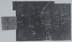
Map of 35th Division Positions
Map # M1123 [1:50,000]
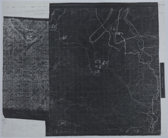
Map of 35th Division Positions
Map # M1125 [1:50,000]
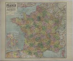
Map of Northeastern France and Southwestern Germany
Map # M602 [1:200,000]
Map of Northeastern France
Map # M601 [1:200,000]
Map of Northeastern France
Map # M604 [1:50,000]
Map of Northeastern France
Map # M605 [1:50,000]
Map of Northeastern France
Map # M607 [1:50,000]
Map of Northeastern France
Map # M606 [1:50,000]
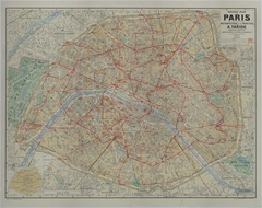
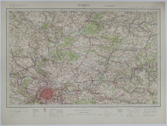
Map of the Area Surrounding Paris
Map # M603 [1:200,000]
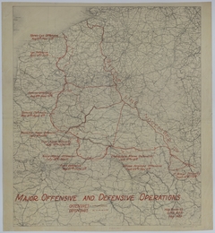
Map of the Major Offensive and Defensive Operations
Map # M608 [1:600,000]
Map of Allied Divisional Movement During the St. Mihiel Offensive
Map # M609 [1:80,000]
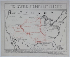
Map of the Battle Fronts of Europe
Map # M612 [1 1/2 inches = 400 miles]
Map of Allied Positions and Movement
Map # M1100 [1:50,000]
1835
Map of Allied Divisional Movement During the Meuse-Argonne Offensive
Map # M611 [1:80,000]
Map of the American Sector of the Coblentz Bridgehead
Map # M1958
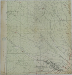
Map of the Area Around Steinbach, Germany
Map # M1058-01
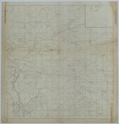
Map of 129th Field Artillery Positions
Map # M1058
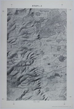
Map of German Activity from 1914 to 1918
Map # M1102 [1:320,000]
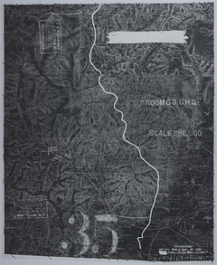
Map of 35th Division Positions
Map # M1126 [1:50,000]
Map of 35th Division Positions
Map # M1128 [1:50,000]
Map of 35th Division Positions
Map # M1127 [1:50,000]
Map of 35th Division Positions
Map # M1132 [1:80,000]
Map of 35th Division Positions
Map # M1129 [1:100,000]
Map of 35th Division Positions
Map # M1131 [1:50,000]
Pagination
Previous page
‹‹
Page 8
Next page
››