Accession Number
M602
Cartographer
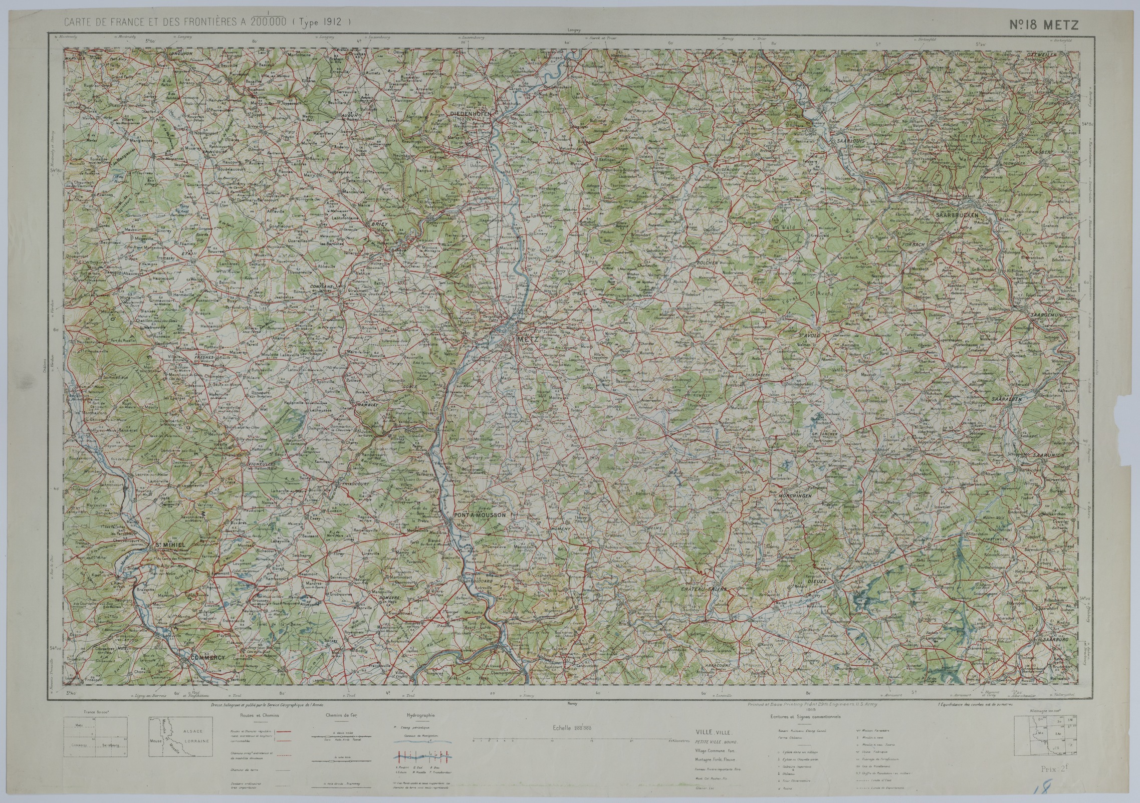
Service Geographique de l'Armee. Printed at Base Printing Plant, 29th Engineers, U.S. Army, 1918.
Keywords
Photo Color
Color
Physical Size
19 1/2 X 28 inches
Restrictions
Unrestricted
Scale
1:200,000
TIF Identifier
M602.tif
Rights
This item is in the public domain and can be used freely without further permission.