Skip to main content
Menu
Museum
Museum
An Ordinary Man, His Extraordinary Journey
Hours/Admission
Nearby Dining and Lodging
Information
Store
Library Collections
Library Collections
Online Collections
Maps
Photographs
Harry S. Truman Papers
Federal Records
Personal Papers
Appointment Calendar
Audiovisual Materials Collection
President Harry S. Truman's Cabinet
President Harry S. Truman's White House Staff
Researching Our Holdings
Collection Policy and Donating Materials
Truman Family Genealogy
To Secure These Rights
Freedom to Serve
Events and Programs
Events and Programs
Facility Rental
Featured programs
Education
Education
Annual Truman Library Teacher Conference
Civics for All of US
Civil Rights Teacher Workshop
High School Trivia Contest
Teacher Lesson Plans
National History Day
Student Resources
Truman Presidential Inquiries
Student Research File
The Truman Footlocker Project
Truman Trivia
The White House Decision Center
Three Branches of Government
Electing Our Presidents Teacher Workshop
National History Day Workshops from the National Archives
Tours
About
About
Support
Research grants
Truman Library History
Contact Staff
Volunteer Program
Internships
Privacy
Click here to open or close the menu
Search
Breadcrumb
Harry S. Truman
Library Collections
Search Maps
Search Maps
Search Truman Archives
Search Results
Search Results: 866 maps
Clear Search
Refine Results
Enter Search Terms
Enter Search Terms
Search Parameter
Is equal to
Is not equal to
Contains
Contains any word
Contains all words
Starts with
Does not start with
Ends with
Does not end with
Does not contain
Length is shorter than
Length is longer than
Regular expression
Negated regular expression
Topics
Banks and banking
Cities and towns
Coal trade
Cold War
County government
Forests and forestry
Formations (Geology)
Freemasonry
Jewish-Arab relations
Korean War, 1950-1953
Military bases
Mines and mineral resources
Navy-yards and naval stations
Oil industries
Postal service
Presidential libraries
Presidential residences
Railroads
Rivers
Roads
Universities and colleges
World War, 1914-1918
World War, 1939-1945
Start Date
Min
Max
Exclude Copyright Restricted
- Any -
Restricted
Undetermined
Unrestricted
Agency Restriction
Map of the Organization of American Supply Services
Map # M573 [1:600,000]
1894
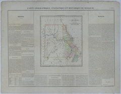
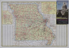
Map of Missouri
Map # M167 [2 1/4 inches = 80 miles]
1825
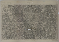
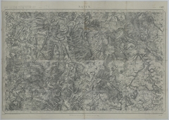
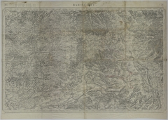
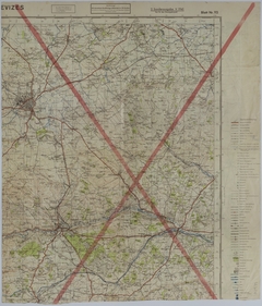
Map of the Area Near Verdun
Map # M1103 [1 inch = 2 kilometers]
1911
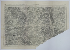
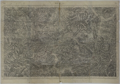
Map of Verdun (Mezieres)
Map # M979
1913
Map of German Positions and Supply on August 25, 1918
Map # M1046 [1:50,000]
1912
Map of the Movement of the 2nd Battalion of the 129th Field Artillery
Map # M1315 [1 inch = 2 kilometers]
1912
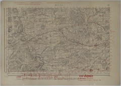
Map of the Area Around Commercy
Map # M1307 [1 inch = 2 kilometers]
1912
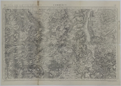
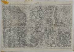
Map of the Area Around Commercy
Map # M1306 [1 inch = 2 kilometers]
1912
Map of the Area Around Nancy
Map # M1305 [1 inch = 2 kilometers]
1912
Map of the Conflans Offensive
Map # M1923 [1:80,000]
1912
Map of 35th Division Positions
Map # M987
1912
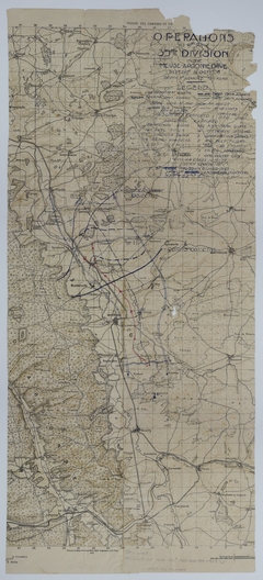
Map of 35th Division Operations During the Meuse-Argonne Offensive
Map # M1092
1918
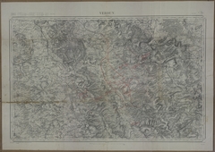
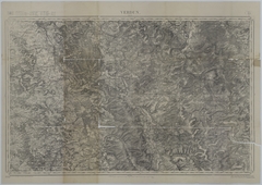
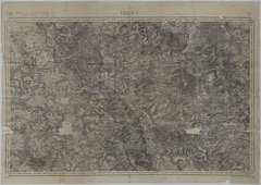
Map of the Area Near Verdun
Map # M1096 [1 inch = 2 kilometers]
1911
Map of the Positions and Movement of the 70th Infantry Brigade
Map # M990 [1 inch = 2 kilometers]
1911
Map of Allied Positions and Movement in Northeast France
Map # M984 [1 inch = 2 kilometers]
1911
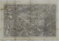
Map of the Movement and Positions of the 35th Division
Map # M978
1911
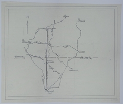
Map of the Route of Train Number 46
Map # M1301 [1 inch = 2 kilometers]
1911
Map of the Area Around Bar-le-Duc
Map # M1300 [1 inch = 2 kilometers]
1911
Map of the Area Around Bar-le-Duc
Map # M1291 [1 inch = 2 kilometers]
1911
Map of 35th Division Movement
Map # M1817 [1:20,000]
1937
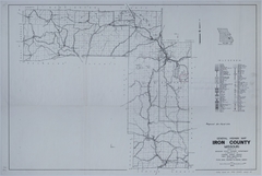
Map of a Proposed Airfield in Iron County, Missouri
Map # M196 [1:48,000]
1939
Map of Missouri and Kansas
Map # M155-01 [2 1/4 inches = 30 miles]
1939
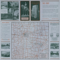
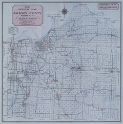
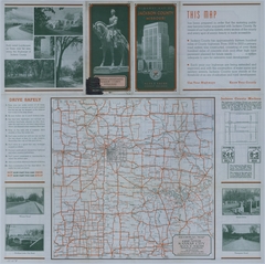
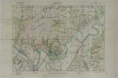
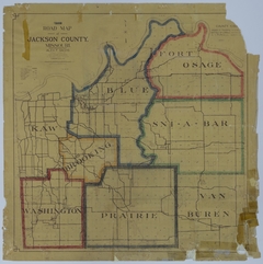
Map of Jackson County, Missouri
Map # M155 [2 1/2 inches = 3 miles]
1939
Map of Missouri and Kansas
Map # M154-01 [2 1/4 inches = 30 miles]
1939
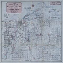
Map of Jackson County, Missouri
Map # M154 [2 1/2 inches = 3 miles]
1939
Map of American Cemeteries and Battle Monuments in Europe
Map # M613
1939
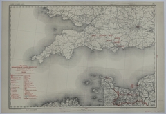
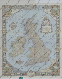
Map of the British Isles
Map # M1204 [1:1,622,000]
1937
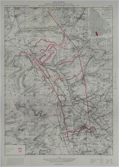
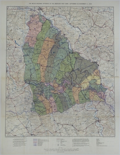
Map of Allied Positions During the Meuse-Argonne Offensive
Map # M1976 [1:100,000]
1937
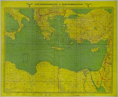
Map of the Eastern Mediterranean Sea
Map # M1155 [1:2,000,000]
1940
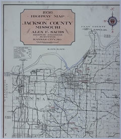
Map of Jackson County, Missouri
Map # M157 [2 1/2 inches = 3 miles]
1936
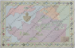
Map of Canada
Map # M1207 [1:5,892,480. Insets: Various.]
1936
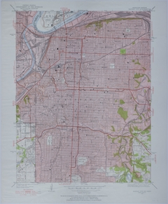
Map of Greater Kansas City
Map # M145 [1:24,000]
1935
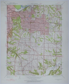
Map of Independence, Missouri
Map # M105 [1:24,000]
1934
Map of Fort Riley, Kansas
Map # M1964 [1:20,000]
1934
Map of Jackson County, Missouri
Map # M159 [1 3/4 inches = 3 miles]
1933
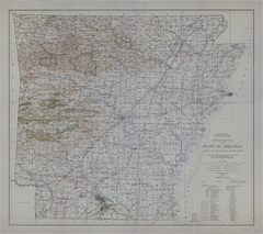
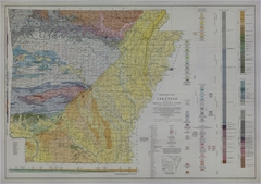
Map of Arkansas Resources
Map # M205 [1:500,000]
1930
Map of Arkansas Resources
Map # M204 [1:500,000]
1929
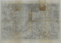
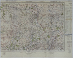
Map of the Area Near Ribblesdale, England
Map # M1974 [1:50,000]
1941
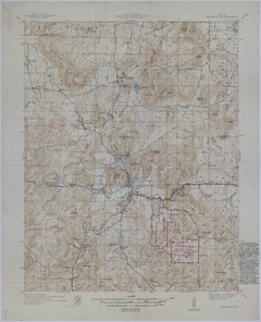
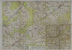
Map of the Area Near Bastogne, Belgium
Map # M1967 [1:50,000]
1943
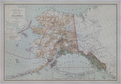
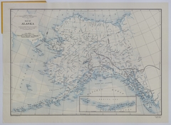
Map of Alaska
Map # M198 [1 inch = 39.5 miles]
1942
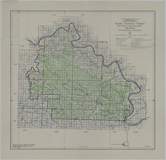
Map of Ozark National Forest
Map # M208 [2 1/2 inches = 5 miles]
1941
Map of Alaska
Map # M200 [1:5,000,000]
1941
Map of Distances from a Proposed Airfield in Iron County, Missouri to Principal Cities
Map # M189 [1 3/4 inches = 30 miles. Inset of Kansas City: None. Inset of St. Louis: None.]
1941
Map of a Proposed Highway Between Fort Leonard Wood and Camp Robinson
Map # M1350
1941
Map of the Northern Hemisphere
Map # M1216 [Varies, Polar Equidistant Projection]
1941
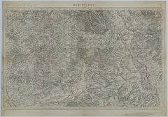
Map of the Area Near Swindon, England
Map # M1975
1941
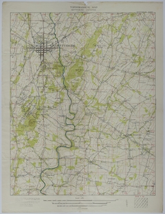
Map of the Area Around Gettysburg, Pennsylvania
Map # M1961 [3 inches = 1 mile]
1925
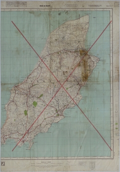
Map of the Isle of Man
Map # M1973 [1:50,000]
1941
Map of a Proposed Airfield in Iron County, Missouri
Map # M185 [2 inches = 4 miles]
1940
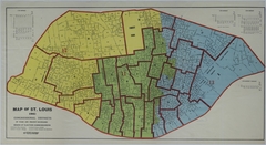
Map of Congressional Districts in St. Louis, Missouri
Map # M176
1940
Pagination
Previous page
‹‹
Page 11
Next page
››