Accession Number
M196
Cartographer
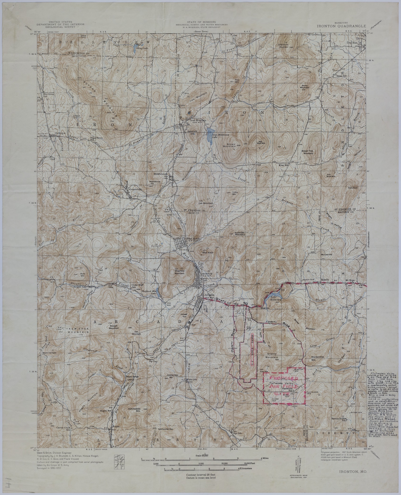
United States Department of the Interior, United States Geological Survey. State of Missouri, Geological Survey and Water Resources.
Keywords
Photo Color
Color
Physical Size
27 X 21 3/4 inches
Restrictions
Unrestricted
Scale
1:48,000
TIF Identifier
M196.tif
Rights
This item is in the public domain and can be used freely without further permission.