Breadcrumb

  1. Home
  2. Library Collections
  3. Photographs
  4. Map of KC, MO

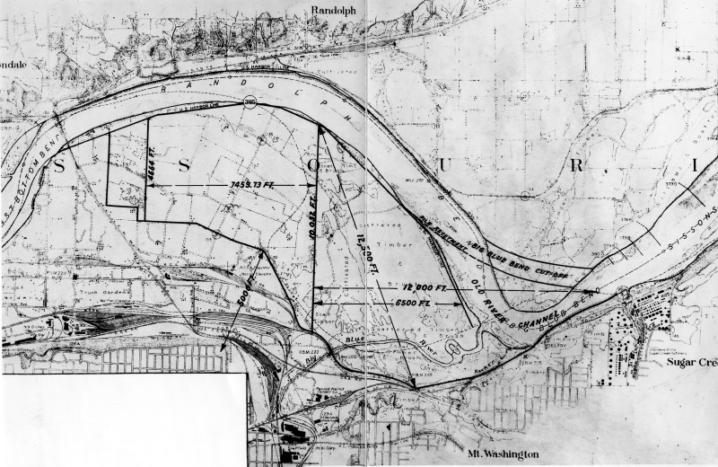
Map of KC, MO

59-1606-03
Accession Number
59-1606-03
10.5x15.5 inches
Black & White
Keywords
HST Keywords
Missouri - Cities - Kansas City - Industrial District; Flood Control
Rights

The Library is unaware of any copyright claims to this item; use at your own risk.

Note: If you use this image, rights assessment and attribution are your responsibility.

Harry S. Truman Library & Museum.

Attention media: Please make note of this item's accession number. Print out this page and retain it for your permissions records before downloading this image file for possible publication. Library staff cannot sign permissions forms or provide additional paperwork. The Library charges no usage fees for downloaded images.

Description
A map of the eastern part of the industrial district of Kansas City, Missouri. The photo was used to demonstrate potential flood damage from the Missouri River.
Date(s)
June 24, 1940