Accession Number
M186
Cartographer
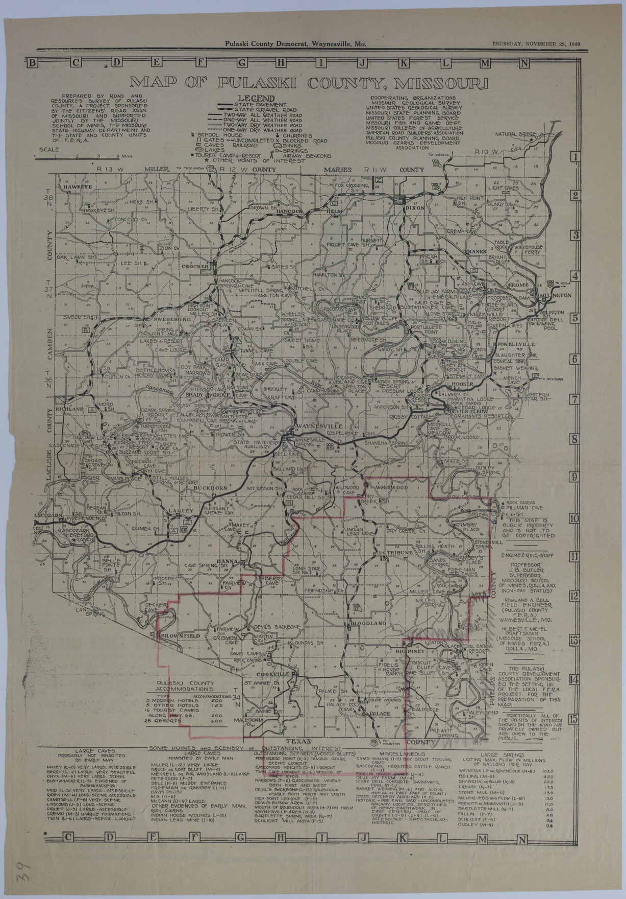
Road and Resources Survey of Pulaski County, Missouri. Published in the "Pulaski County Democrat," Waynesville, MO. Pencil Markings: Unknown.
Keywords
Photo Color
Color
Physical Size
21 1/2 X 15 inches
Restrictions
Unrestricted
Scale
2 inches = 4 miles
TIF Identifier
M186.tif
Rights
This item is in the public domain and can be used freely without further permission.