Breadcrumb

  1. Home
  2. Search Maps
  3. Map of Iran

Map of Iran

Map of Iran
Accession Number
M1788
Cartographer
Army Information Branch, Army Service Forces, War Department.
Photo Color
Color
Physical Size
35 X 47 inches
Restrictions
Unrestricted
Scale
6 3/4 inches = 200 miles
TIF Identifier
M1788.tif
Rights

This item is in the public domain and can be used freely without further permission.

Note: If you use this image, rights assessment and attribution are your responsibility.

Credit: Army Information Branch, Army Service Forces, War Department.

Courtesy Harry S. Truman Library & Museum, Independence, Missouri.

Attention media: Please make note of this item's map number. Print out this page and retain it for your permissions records before downloading this image file for possible publication. Library staff cannot sign permissions forms or provide additional paperwork. The Library charges no usage fees for downloaded images. Fees are charged for higher resolution scans.

Description

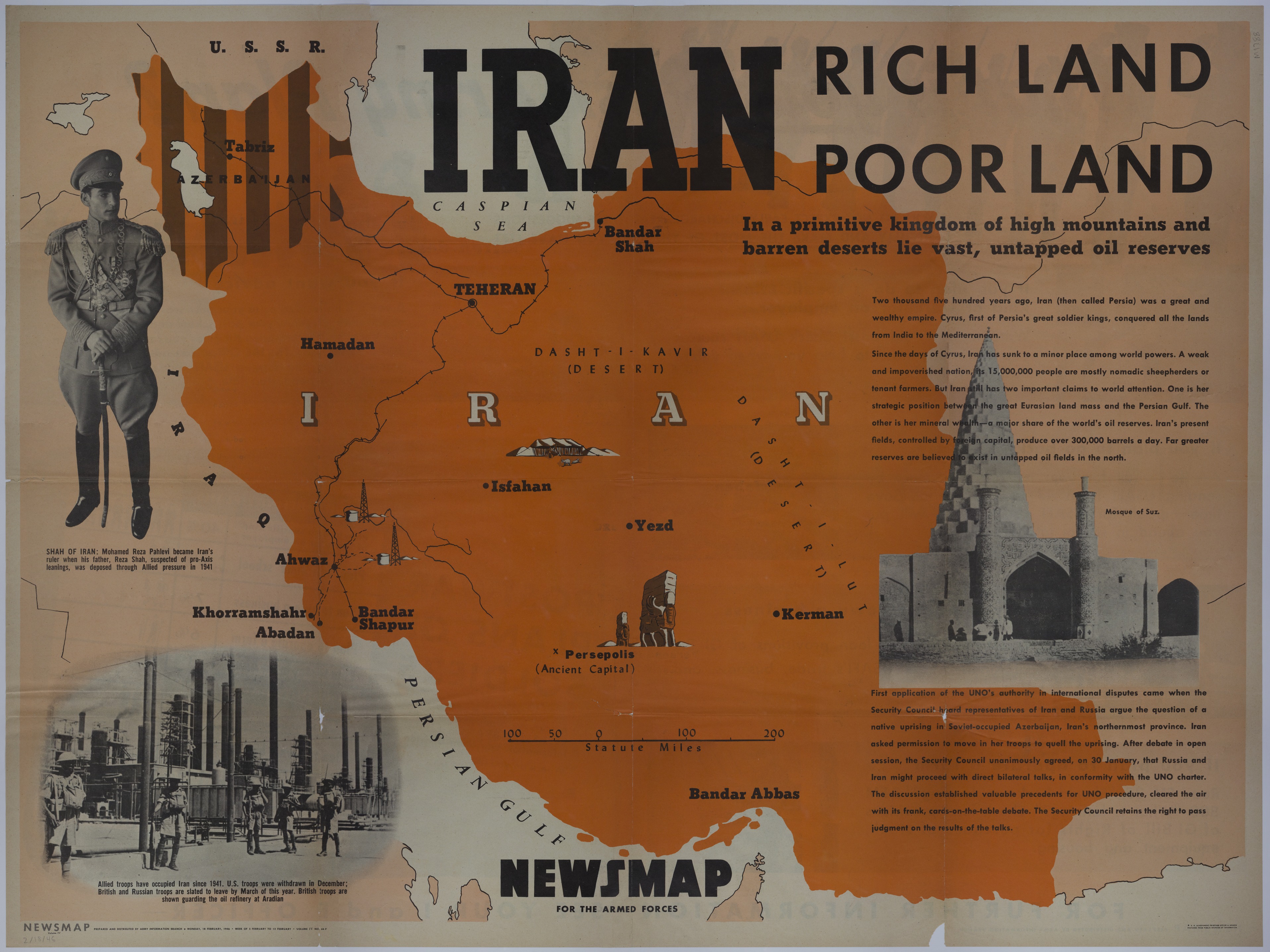
An American map titled "Newsmap for the Armed Forces: Monday, February 18, 1946." The map of Iran shows railroads, deserts, oil refineries, international boundaries, and other locations of importance. Printed text, titled "Iran: Rich Land, Poor Land," describes the history of Iran, its demographics, its oil reserves, and the United Nations Organization's effort to set up direct bilateral talks between Iran and the Soviet Union over a native uprising in Azerbaijan. Photographs on this map are of Mohamed Reza Pahlevi, British troops guarding an oil refinery at Aradian, and the Mosque of Suz. Printed text on the back, accompanied by photographs, asks soldiers: "What is your Post-Army Plan?" The text gives soldiers advice on how to plan for their post-Army future and is accompanied by a survey that gives a breakdown of those soldiers with definite and tentative plans.

Date(s)