Accession Number
M177
Cartographer
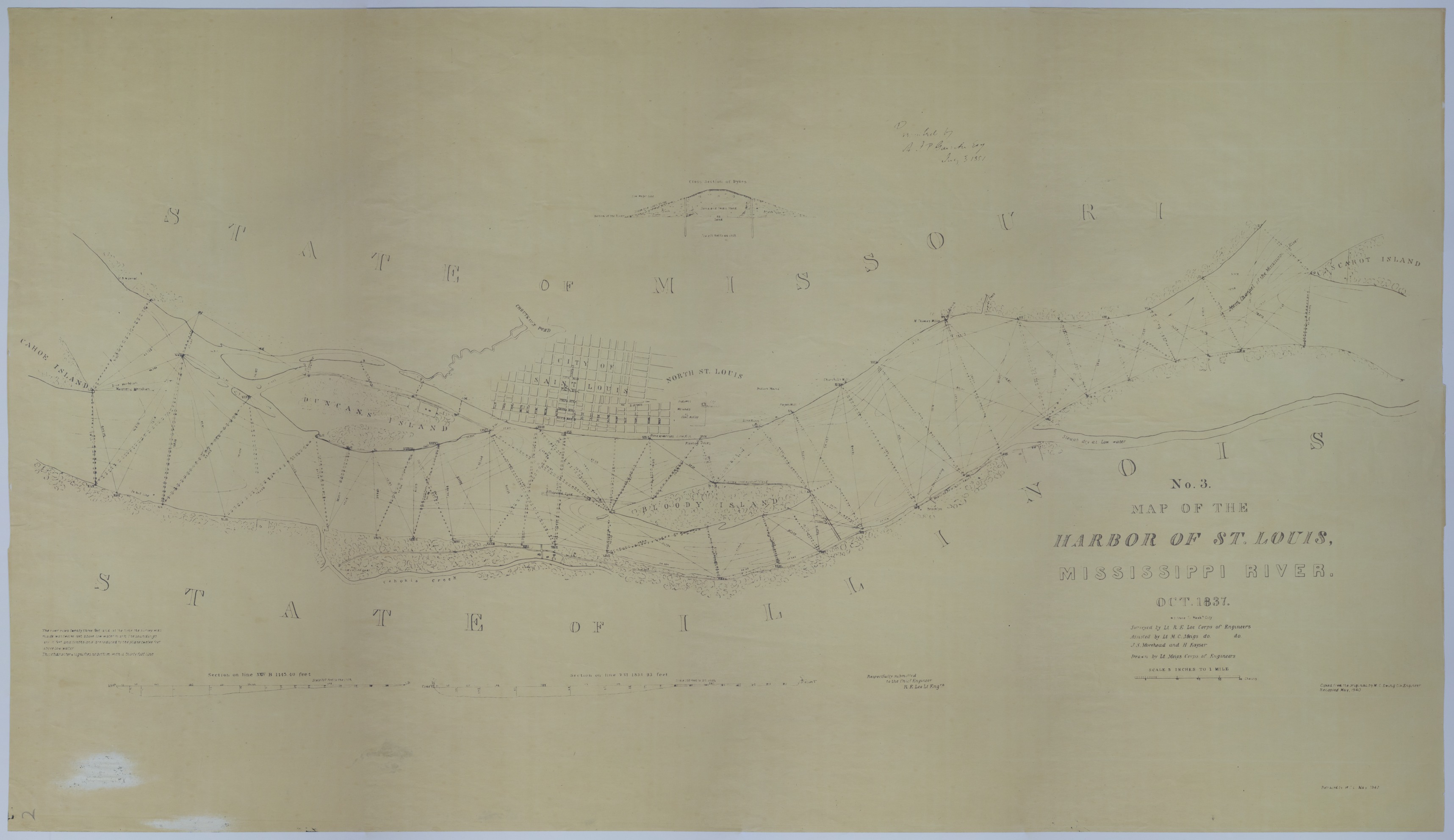
U.S. Army Corps of Engineers. Surveyed by Robert E. Lee. Assisted and drawn by Montgomery C. Meigs. Also assisted by J.S. Morehead and H. Kayser. Engraved by William J. Stone. Copied by M.C. Ewing. Retraced by W.C.L., May 1940.
Keywords
Photo Color
Color
Physical Size
24 1/2 X 42 inches
Restrictions
Unrestricted
Scale
5 inches = 1 mile. Dike cross-section: 1 inch = 20 feet. River cross-sections: 1 inch = 200 feet.
TIF Identifier
M177.tif
Rights
This item is in the public domain and can be used freely without further permission.