
Accession Number
M1755
Cartographer
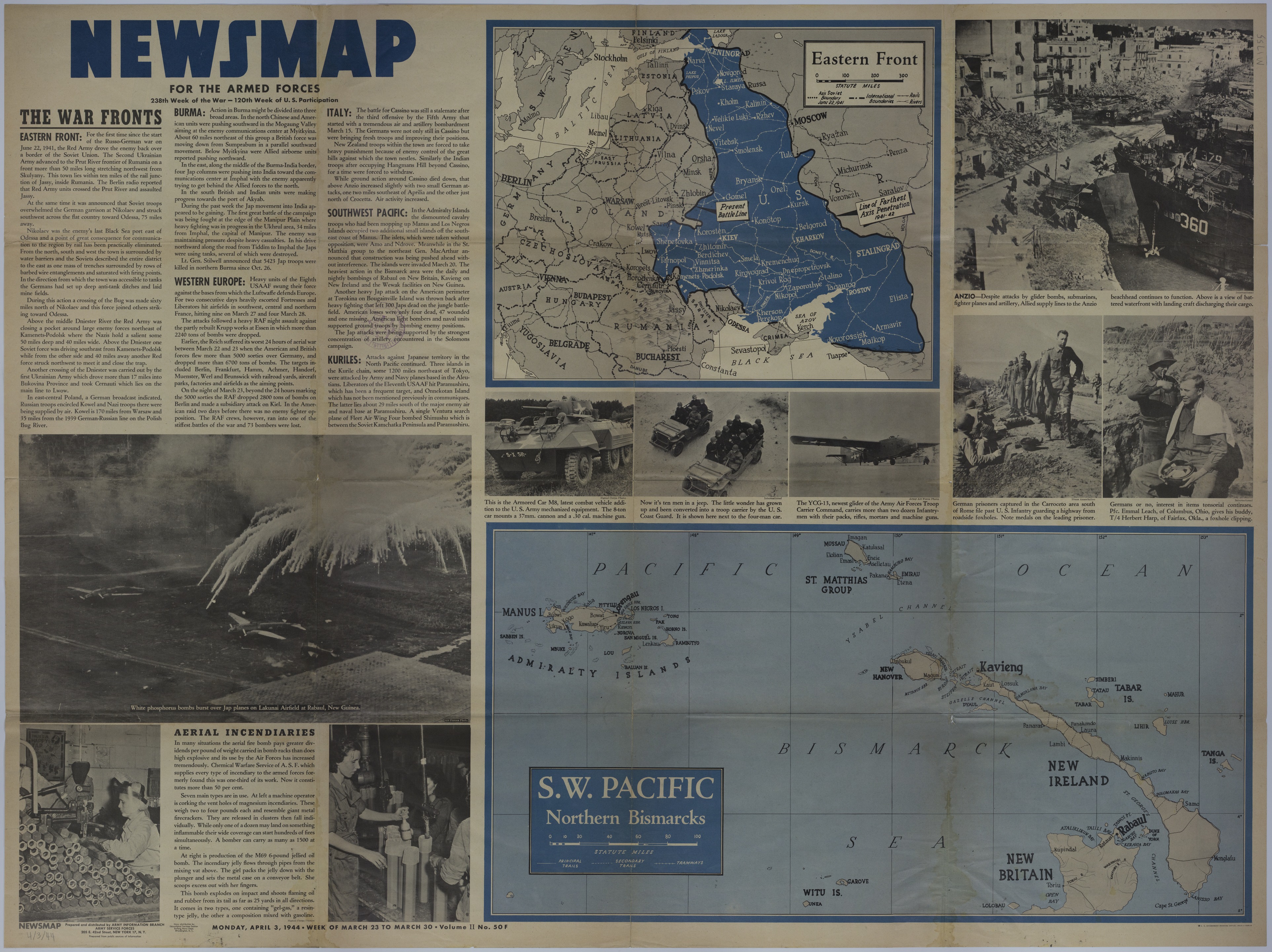
Army Information Branch, Army Service Forces, War Department.
Keywords
Photo Color
Color
Physical Size
35 X 47 inches
Restrictions
Unrestricted
Scale
1 inch = 100 miles. Southwest Pacific: 5 1/2 inches = 100 miles
TIF Identifier
M1755.tif
Rights
This item is in the public domain and can be used freely without further permission.