Breadcrumb

  1. Home
  2. Search Maps
  3. Map of Paris

Map of Paris

Map of Paris
Accession Number
M1447
Cartographer
United States Army. Maps: Copyright, Blondel la Rougery, Paris.
Photo Color
Color
Physical Size
17 1/4 X 22 1/2 inches
Restrictions
Restricted
TIF Identifier
M1447.tif
Rights

This item is copyrighted and cannot be published, reproduced, or otherwise used without the explicit permission of the copyright holder.

Note: If you use this image, rights assessment and attribution are your responsibility.

Credit: United States Army. Maps: Copyright, Blondel la Rougery, Paris.

Courtesy Harry S. Truman Library & Museum, Independence, Missouri.

Attention media: Please make note of this item's map number. Print out this page and retain it for your permissions records before downloading this image file for possible publication. Library staff cannot sign permissions forms or provide additional paperwork. The Library charges no usage fees for downloaded images. Fees are charged for higher resolution scans.

Description

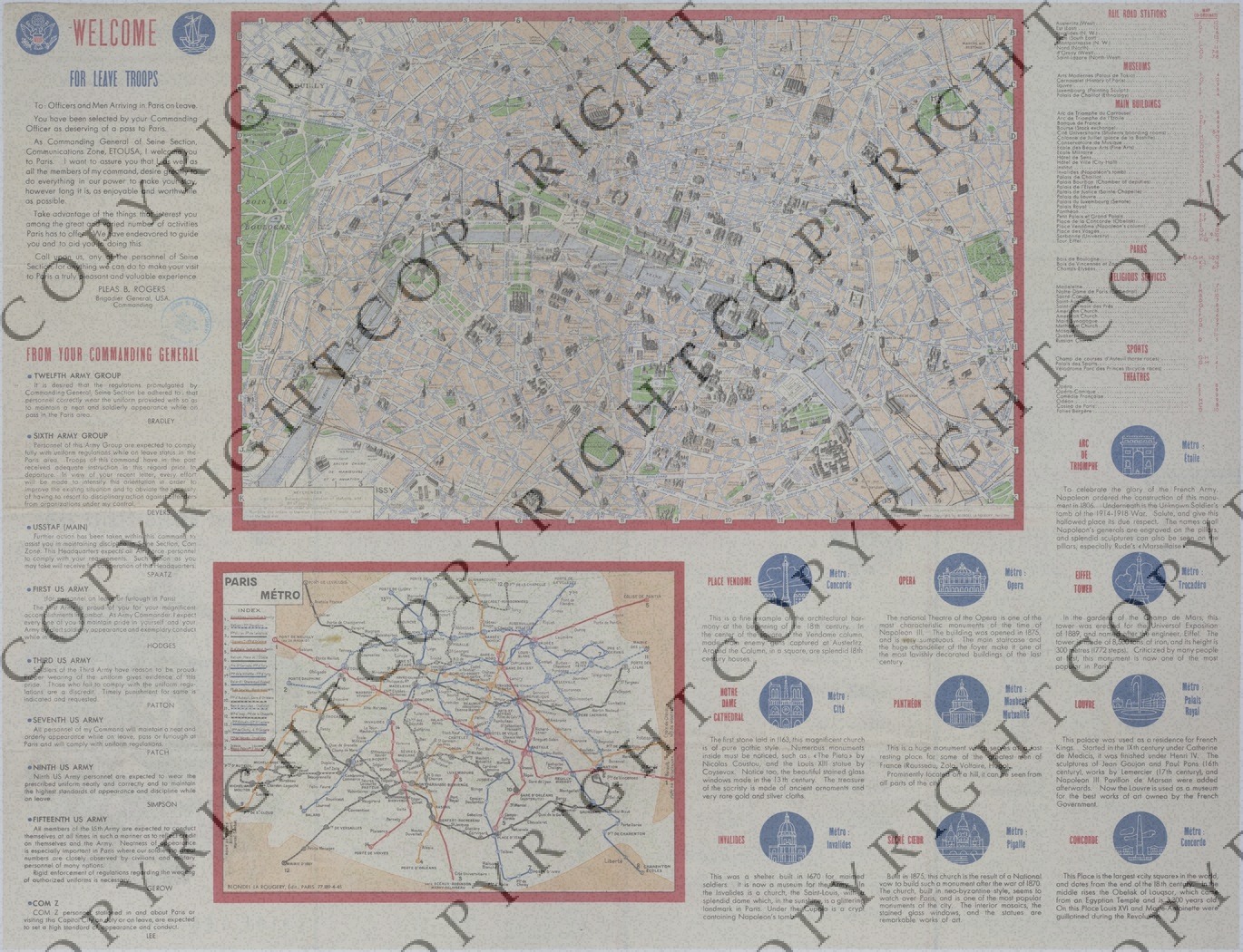
A brochure titled "The United States Army: Guide for Leave Troops." The larger map of Paris shows roads, railroad stations, museums, main buildings, parks, churches, sporting venues, theaters, subway lines and stations, subway lines under construction, and other details. The smaller map of the Paris Metro shows each line and its stops. Printed messages from several Commanding Generals relay expectations and standards that the soldier must attend to. Other printed text includes a short history on some of the main buildings and an index that locates areas on the larger map. Printed text on the back notifies soldiers of the services and events available to them while on leave. A note referencing "Hotel Raphael" and a show ticket from "Folies-Bergere" are attached.

Date(s)