Breadcrumb

  1. Home
  2. Search Maps
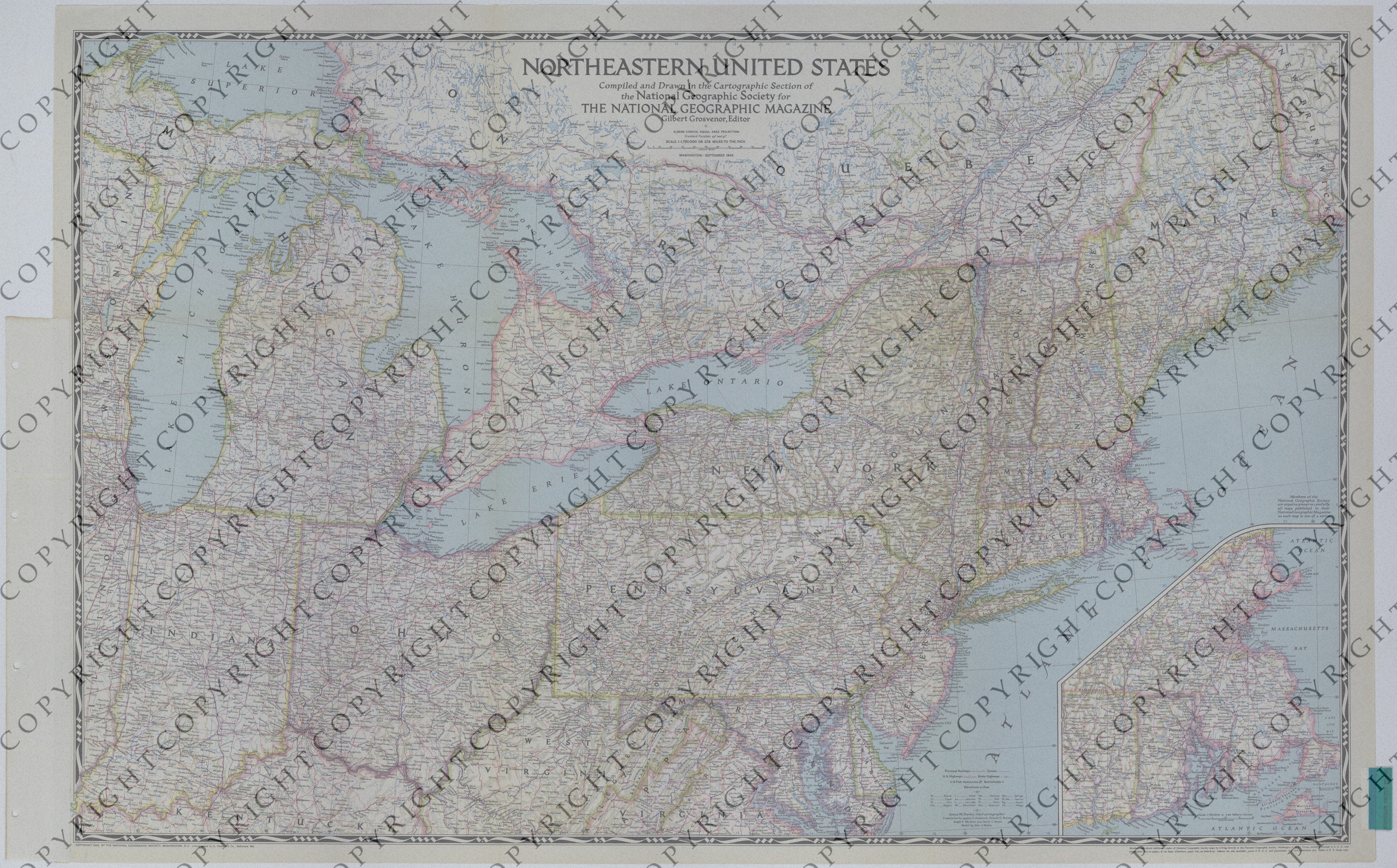
  3. Map of the Northeastern United States

Map of the Northeastern United States

Map of the Northeastern United States
Accession Number
M1208
Cartographer
Cartographic Section, National Geographic Society, National Geographic Magazine.
Photo Color
Color
Physical Size
26 3/4 X 43 1/4 inches
Restrictions
Restricted
Scale
1:1,750,000. Inset: 1:750,000.
TIF Identifier
M1208.tif
Rights

This item is copyrighted and cannot be published, reproduced, or otherwise used without the explicit permission of the copyright holder.

Note: If you use this image, rights assessment and attribution are your responsibility.

Credit: Cartographic Section, National Geographic Society, National Geographic Magazine.

Courtesy Harry S. Truman Library & Museum, Independence, Missouri.

Attention media: Please make note of this item's map number. Print out this page and retain it for your permissions records before downloading this image file for possible publication. Library staff cannot sign permissions forms or provide additional paperwork. The Library charges no usage fees for downloaded images. Fees are charged for higher resolution scans.

Description

An American map titled "Northeastern United States." The map, which includes a portion of Canada, shows principal railways, canals, highways, U.S. fish hatcheries, battlefields, elevations, and other details. Included is an inset that shows portions of Connecticut, Rhode Island, New Hampshire, and Massachusetts. This map is one of a set of maps that have been removed from an album titled "United States of America: United States Army Air Forces." Another note within the album read: "Prepared by Cartographic Branch, AC/AS-2 Intelligence."

Date(s)
ca.