Breadcrumb

  1. Home
  2. Search Maps
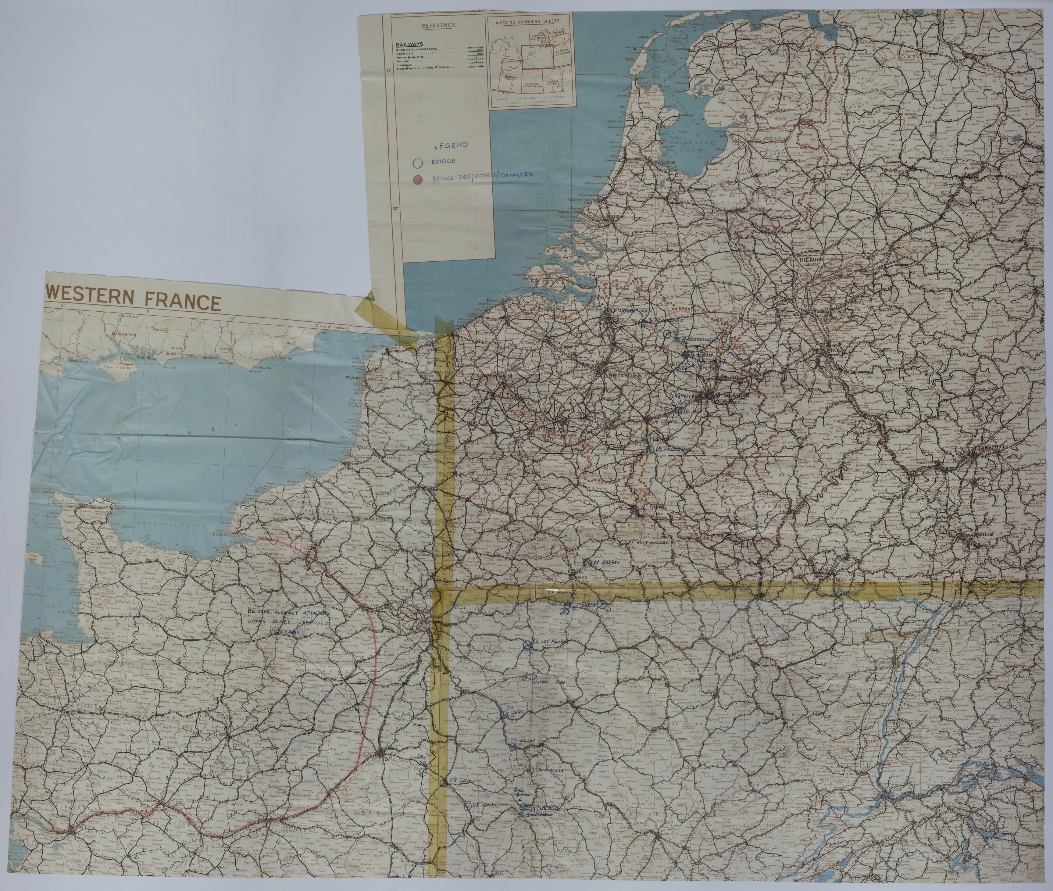
  3. Map of Bridges on the Western Front

Map of Bridges on the Western Front

Map of Bridges on the Western Front
Accession Number
M1154
Cartographer
Unknown. Annotated by the Enemy Objectives Unit, Office of Strategic Services, 1945.
Photo Color
Color
Physical Size
36 1/2 X 42 1/2 inches
Restrictions
Undetermined
TIF Identifier
M1154.tif
Rights

The Library is unaware of any copyright claims to this item; use at your own risk.

Note: If you use this image, rights assessment and attribution are your responsibility.

Credit: Unknown. Annotated by the Enemy Objectives Unit, Office of Strategic Services, 1945.

Courtesy Harry S. Truman Library & Museum, Independence, Missouri.

Attention media: Please make note of this item's map number. Print out this page and retain it for your permissions records before downloading this image file for possible publication. Library staff cannot sign permissions forms or provide additional paperwork. The Library charges no usage fees for downloaded images. Fees are charged for higher resolution scans.

Description

Two maps of Western Europe that have been taped together. The map shows international boundaries, railways, tramways, electrified lines, tunnels, stations, and other details. Areas circled and numbered, in blue and red, signify bridges and bridges destroyed or damaged. A long red pencil line through Western France is accompanied by an annotation that states: "Bridges already attacked under SHAEF 'Overlord' Programme."

Date(s)