Breadcrumb

  1. Home
  2. Search Maps
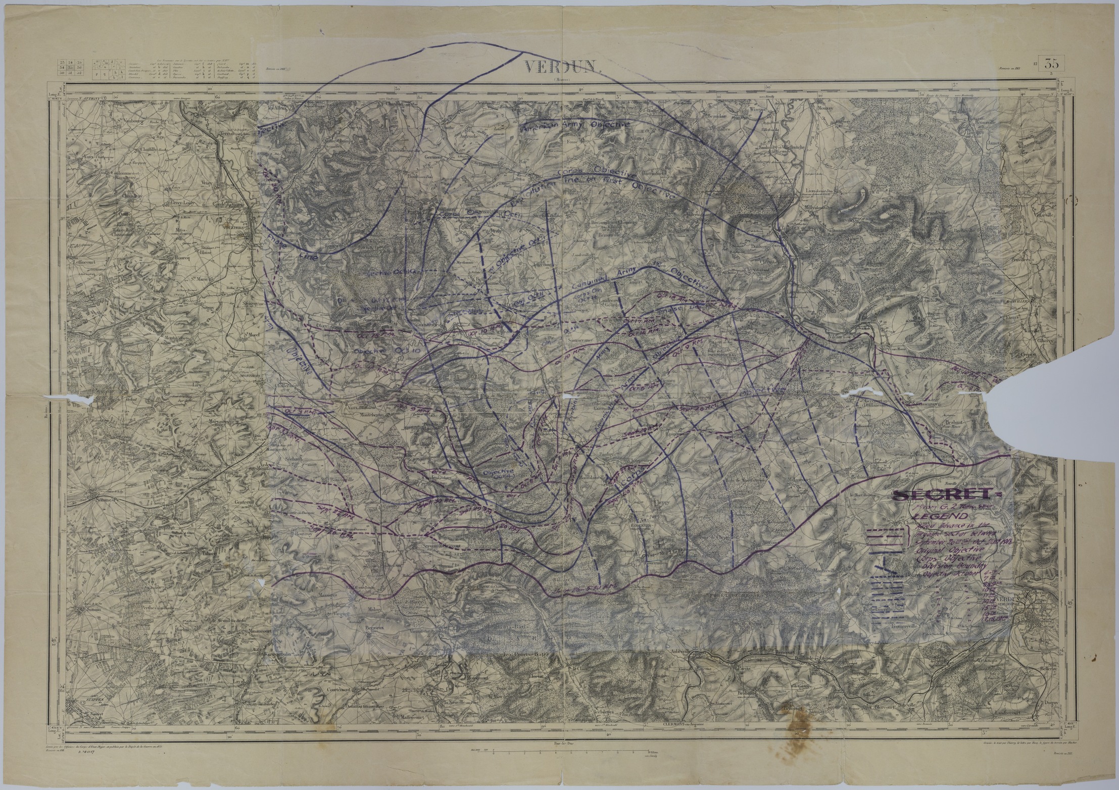
  3. Map of the Allied Advance in the Argonne Sector

Map of the Allied Advance in the Argonne Sector

Map of the Allied Advance in the Argonne Sector
Accession Number
M1041
Cartographer
Depot de la Guerre. Annotated by G-2 Topographic Section.
Photo Color
Color
Physical Size
25 X 35 1/2 inches
Restrictions
Unrestricted
Scale
1 inch = 2 kilometers
TIF Identifier
M1041.tif
Rights

This item is in the public domain and can be used freely without further permission.

Note: If you use this image, rights assessment and attribution are your responsibility.

Credit: Depot de la Guerre. Annotated by G-2 Topographic Section.

Courtesy Harry S. Truman Library & Museum, Independence, Missouri.

Attention media: Please make note of this item's map number. Print out this page and retain it for your permissions records before downloading this image file for possible publication. Library staff cannot sign permissions forms or provide additional paperwork. The Library charges no usage fees for downloaded images. Fees are charged for higher resolution scans.

Description

A French map titled "Verdun." The map, numbered 35 in a series, is annotated to show the Allied advance in the Argonne sector between September 26, 1918 and October 20, 1918. The map also shows original and corps objectives, division boundaries, and daily objectives. Additional annotations, in black ink, mark the positions and movement of the 137th, 138th, 139th, and 140th Infantry. Handwriting on the back reads: "1st Lt Rolla B Holt, Co. 'I' 140 Inf, AEF" and "Bellrupt." Donated by Rolla B. Holt.

Date(s)